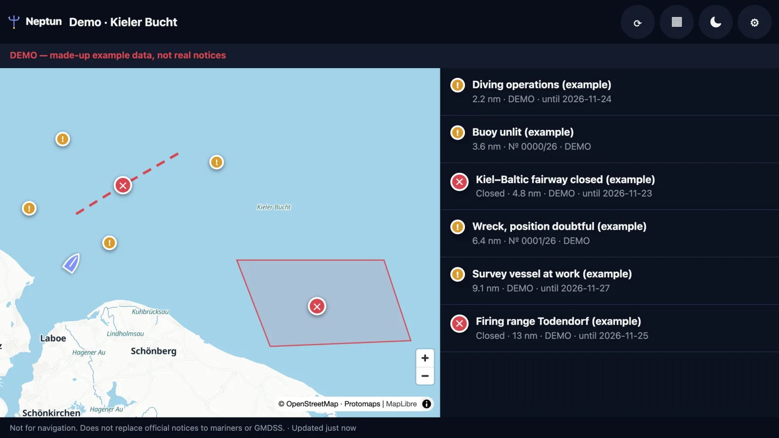
What you see
- Restricted and firing areas as areas, closed fairways as lines
- Navigational warnings, notices to mariners and NAVAREA warnings as points
- The list sorted by distance, with full text, number, source and validity
- Around the device position — or around a region you choose
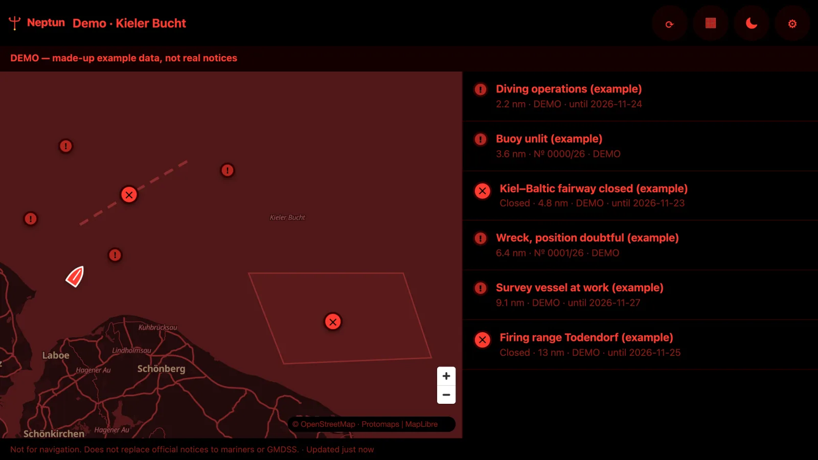
- Day and night mode (night in red, keeps your night vision)
- Without internet: the last update with its age
How it works
neptun.marine-api.com/plotter/app/, enter the key once.Devices
Plans
One key for Neptun K-Boating (Signal K) and Neptun P-Boating (chartplotters and tablets). Every plan starts with 30 days free — you add a payment method at checkout and are charged only after the trial; cancel any time before.
- 1 region
- Bound automatically to where your boat is
- 3 regions
- For holiday cruises and deliveries
Prices incl. VAT. Notices only, for use on board; for your own software there are the API plans. Change plan or cancel any time under “Manage subscription” — your key stays the same.
Running a Signal K server on board? The same key works in Neptun K-Boating, the plugin for Freeboard-SK and B&G, Simrad and Lowrance plotters.
Where the notices come from
From more than 112 official sources — hydrographic offices, waterway authorities and the NAVAREA coordinators, translated into your language. See the coverage map.
For situational awareness only — not for navigation. Does not replace official notices to mariners, corrected charts or GMDSS. The authorities' original notices prevail.